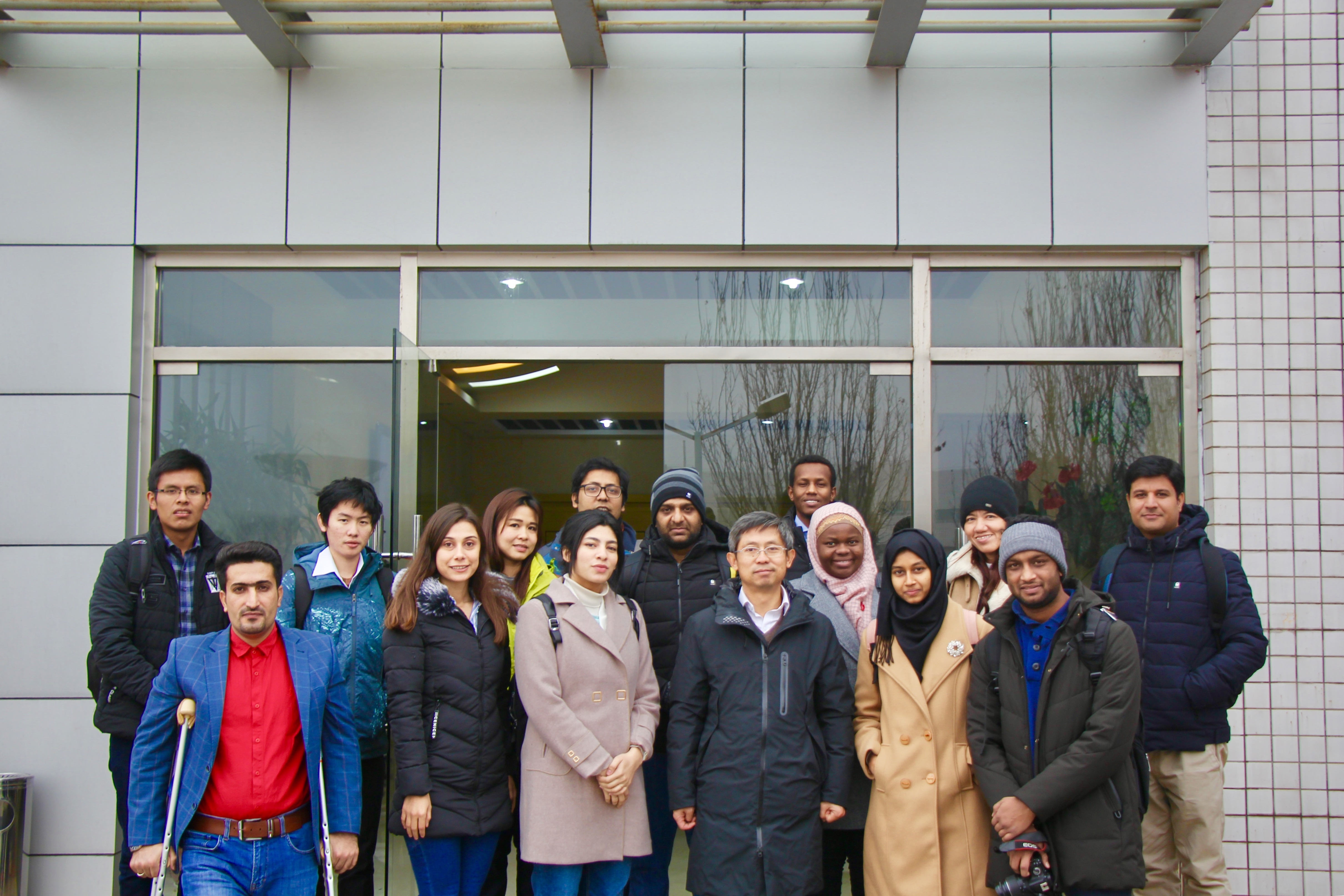
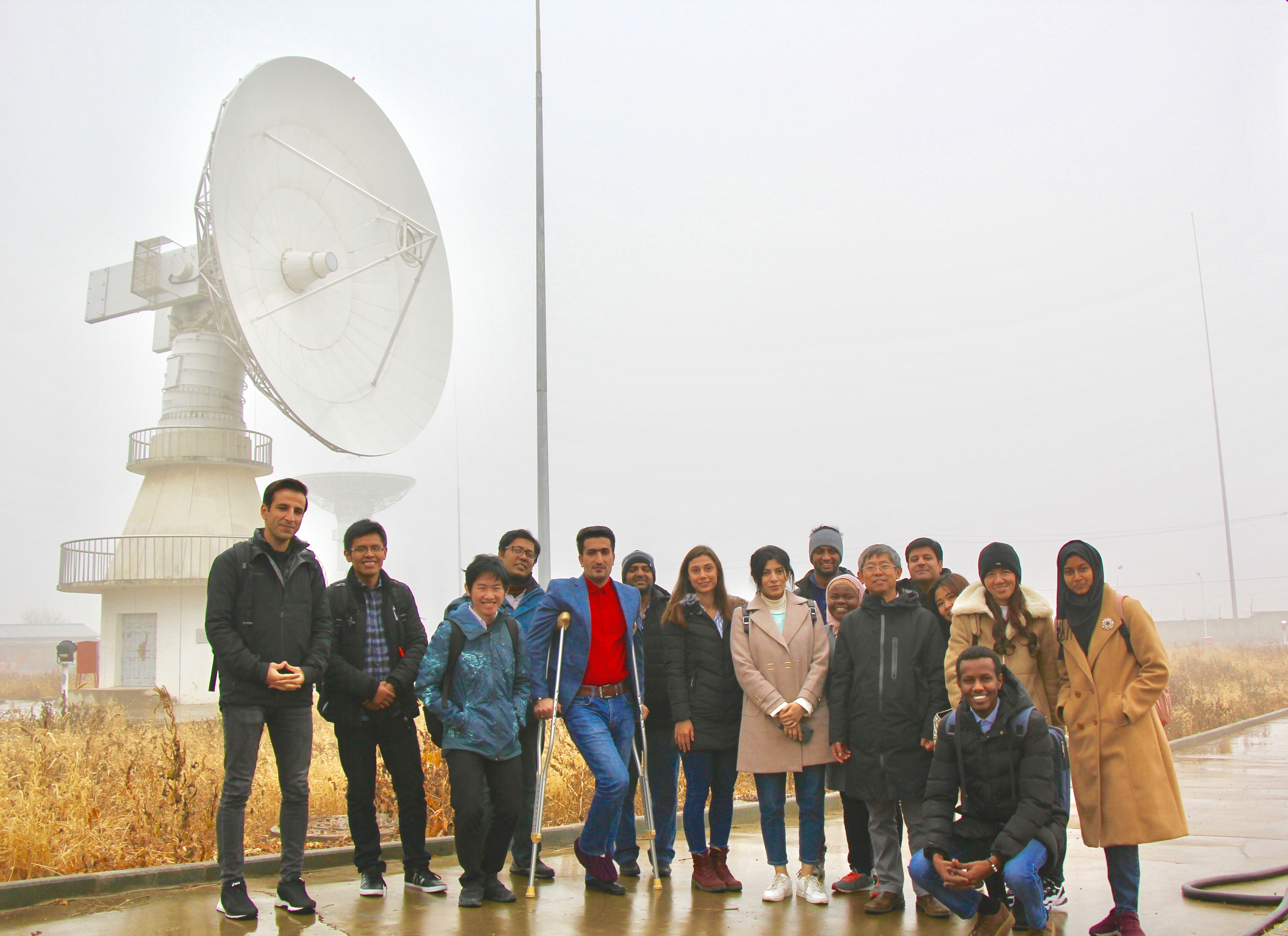
On December 2nd, 2018, more than ten (10) participants of the Centre (MASTA&DOCSTA 2018) visited Miyun Data Receiving Station of Institute of Remote Sensing and Digital Earth, Chinese Academy of Sciences (CAS).
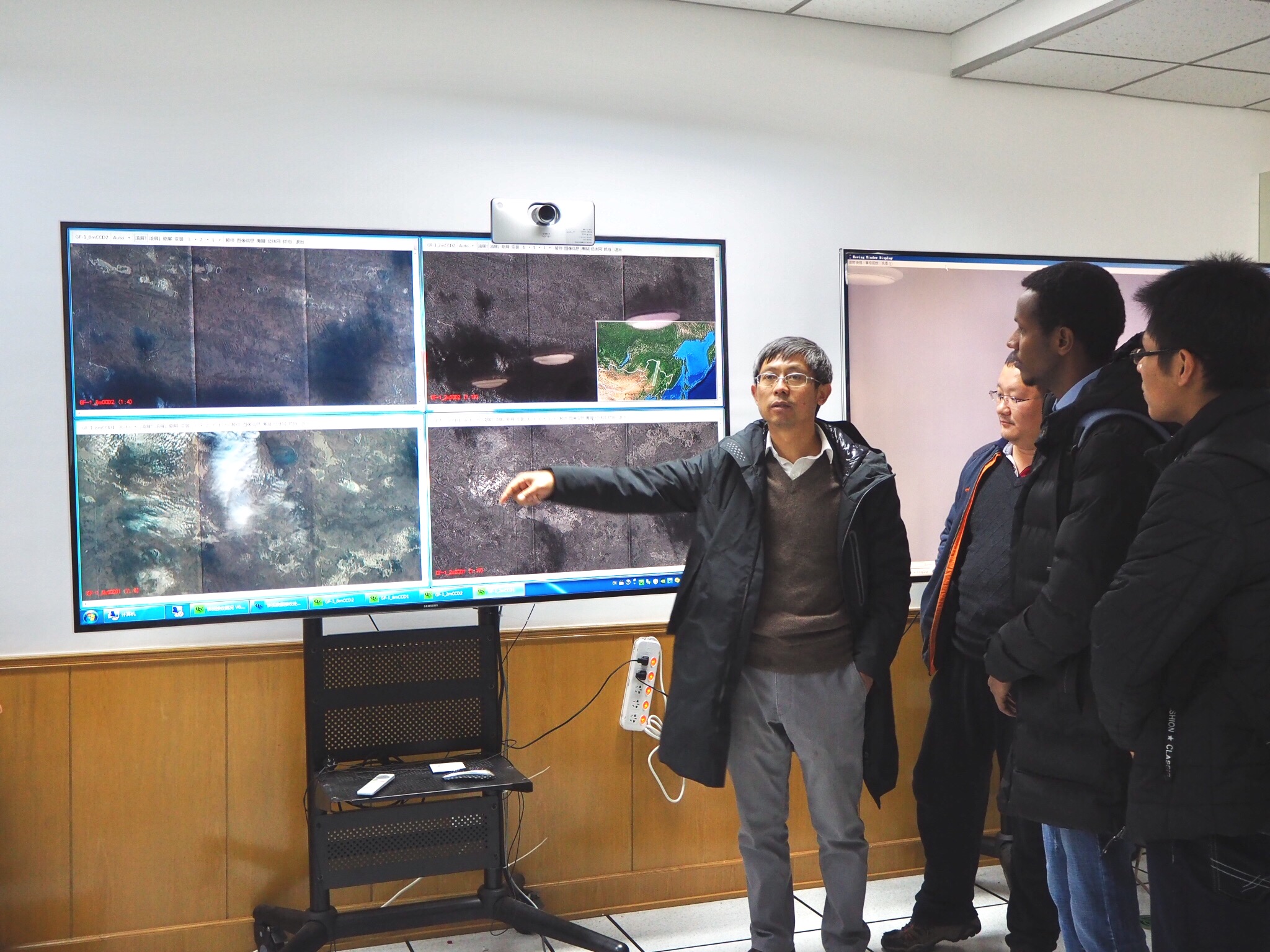
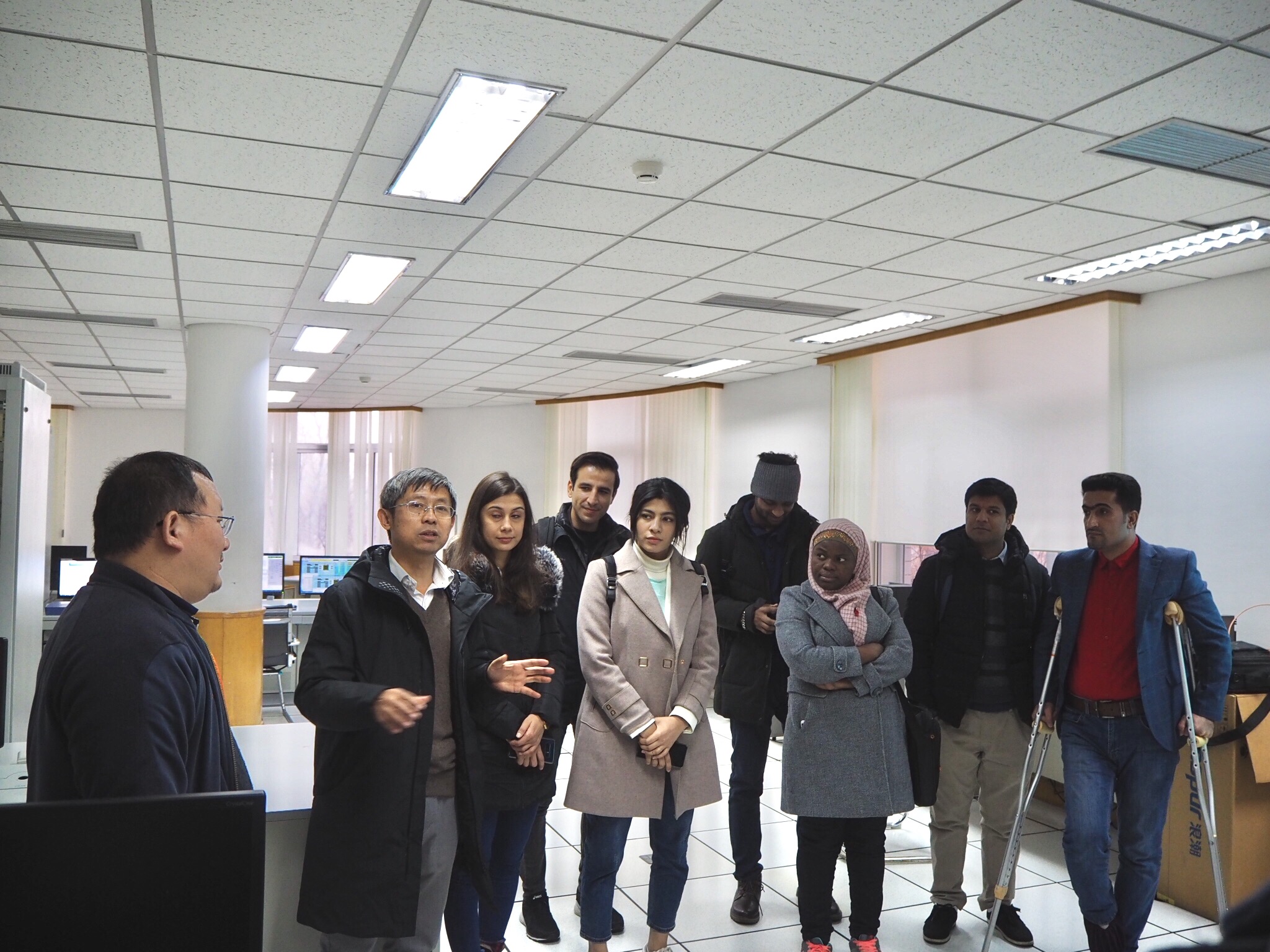
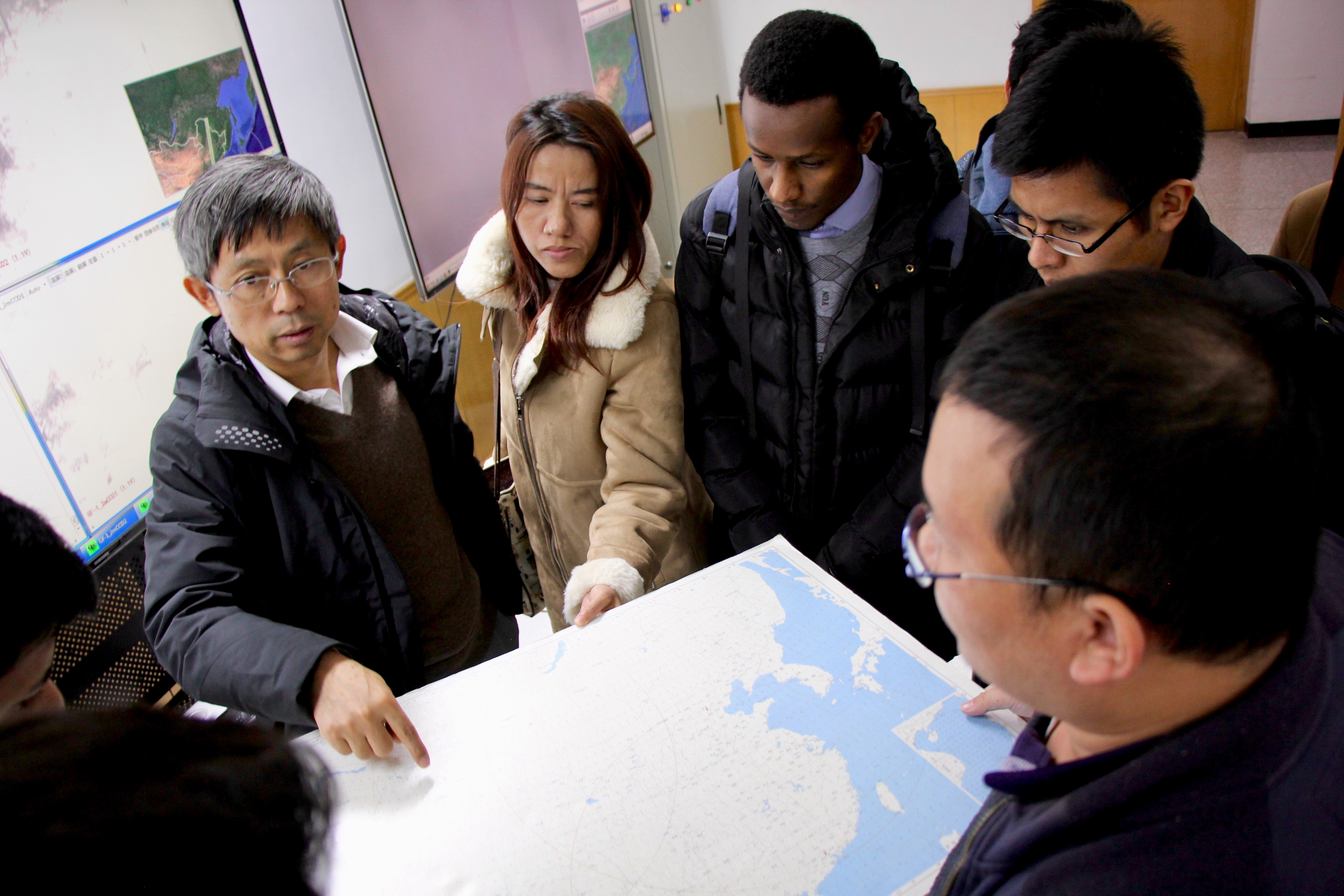
Under the guidance of Prof. Liu Qinhuo and Prof. Ping Jiahe from Institute of Remote Sensing and Digital Earth, CAS, participants of the Centre visited the ground satellite receiving station and central operation room. Participants got more information about operation and management, data receiving, data processing of the station, and watched received images and data from different satellites like CBERS, Gaofen series, etc. The participants asked many questions related to receiving and transmitting of satellite data, equipment and facilities with great interests.
The visit was very useful and informative for the participants. Some of the participants shared their views regarding the visit:
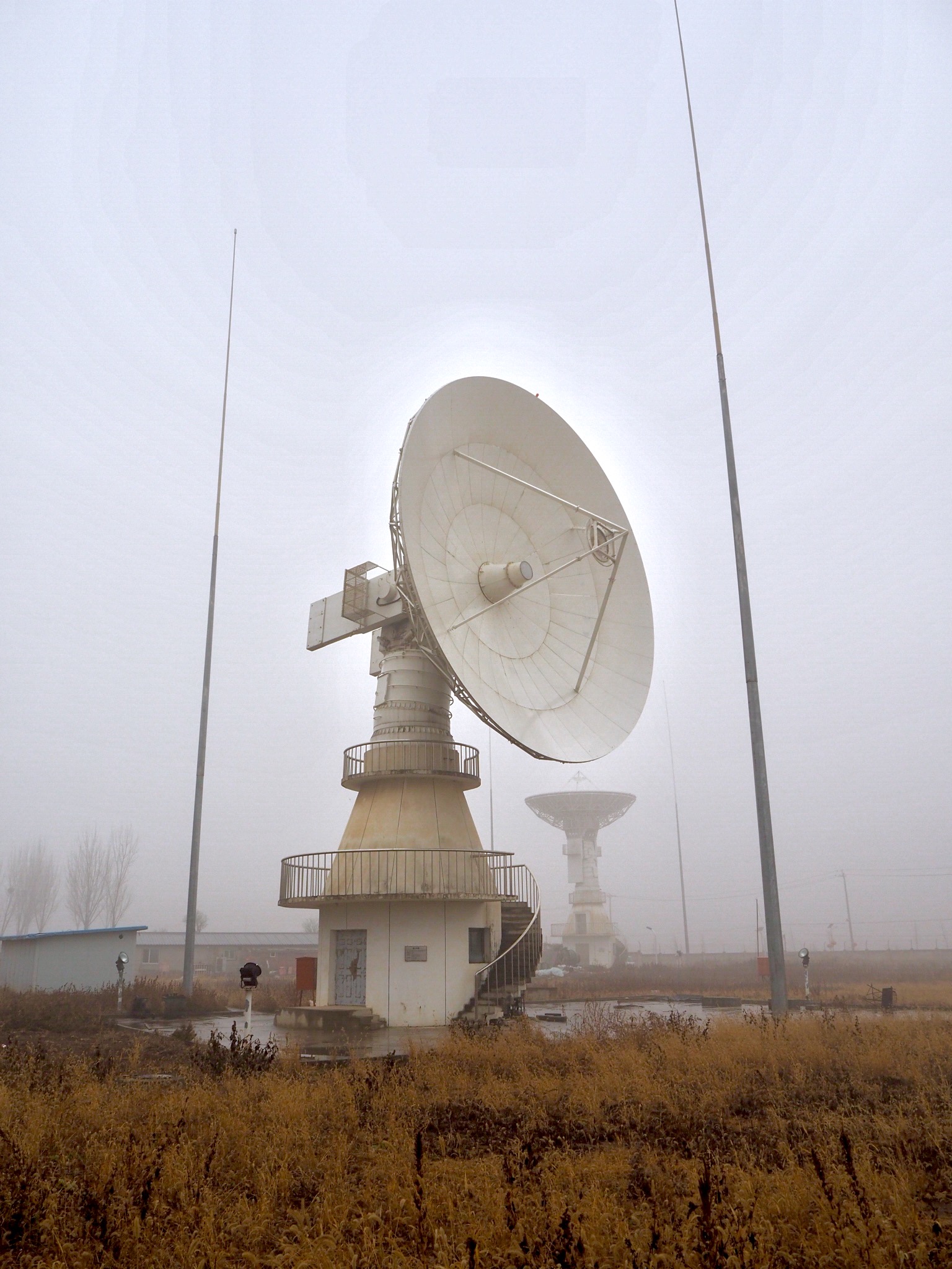
“ This station has two parts to receive the data. First one is indoor part that has been formed by some hardware such as big monitors, strong computers, receivers, and some specialists who work on these instruments. Second one is outdoor part that has been formed by five antennas in the open area, this part has a direct relation to satellites and in fact it establishes relation between indoor part and satellites. The station receives raw data form 20 satellites all over the world. The data that is received are from some satellites having different spatial and spectral resolutions. To sum up, these visits are really necessary for remote sensing and geographic information system students to figure out process of receiving data from space platforms like satellites.”
- PEYMAN HEIDARIAN from 2018DOCSTA
“On reception at Satellite Ground Station group was taken to the main lab where data from different satellite is received. This ground station has the capability to receive foreign satellites data as well like Landsat. At the time, 8 antennas are receiving satellite data. After acquiring, satellite data is transferred to relevant department for their use. During visit, the group had the opportunity to see satellite passes of GF-1 satellite and various equipment used in lab and others facilities at the ground station. Antennas were also observed during the passes and group was able to see them locking with satellites. ”
- HASSAN ALI from 2018MASTA, RS&GIS
The Institute of Remote Sensing and Digital Earth (RADI), Chinese Academy of Sciences (CAS), was established on 7 September 2012, through the merging of two CAS institutes: the Institute of Remote Sensing Applications (IRSA) and the Center for Earth Observation and Digital Earth (CEODE). As a scientific research institute, RADI was established as a major initiative of CAS “Innovation 2020” Program. The consolidation will pool the advantages of both CAS institutes in the fields of remote sensing and Earth observation to promote the development of cutting-edge scientific research, and to meet national strategic demands.
The strategic objectives of RADI are to explore leading technologies in Earth observation and the mechanisms for acquiring and distributing remote sensing information. RADI will focus on the construction and operation of major Earth observation infrastructure and the air-space-ground integrated Earth observation technology system. RADI will enhance its capacity for providing resource-environment spatial information at regional and global levels by establishing a digital Earth scientific platform, therefore building itself into a comprehensive, world-class research institute.