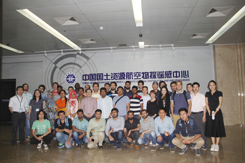
On
May 23rd, 2018, Journey of Chinese Aerospace Technology and Culture
2018 launched its 5th stop - China Aero Geophysical Survey & Remote Sensing Center for Land
and Resources (AGRS).
Firstly,
Dr. Liu Rongyuan gave a lecture on Imaging Spectrometry Technology and
introduced the basic principles, the data processing methods, the application
in geography and environmental protection, as well as its future opportunities
and challenges. After that, Professor Ge Daqing gave an
excellent lecture titled “Introduction into Satellite SAR Interferometry and Its
Application”, explaining the development of InSAR technology and its
applications in geological survey, image analysis and commercial area. Then,
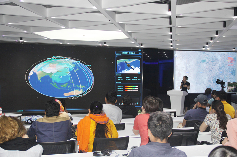
Ms. Dong Lina, Senior Engineer of the Center, gave a demonstration of Land and
Resource Satellite Application System through eight (8) parts including task
control, data collection, data processing, interpret charting, field survey,
sharing&service, data support and operation management. She also showed participants images and data
taken by the resource satellite.
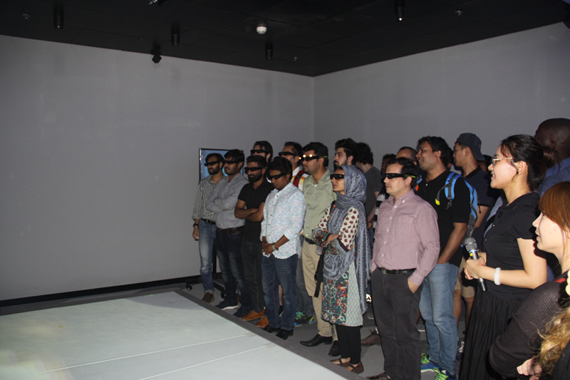
Following
the instruction of the staff, the participants experienced the simulated
satellite launch
with VR glasses. All participants listened the lectures carefully and fully
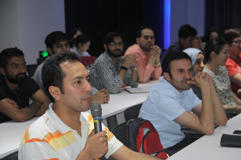
participated in the experiencing activity. They also raised a lot of questions
about the remote sensing satellite technology and the product service, and
received answers and explanation from staff of the Centre with patience.
The
participants all said that, the visit was very enriching for them and made them
know more about the new technology and application in remote sensing, which
would benefit their future study and professional development. They also spoke
highly of China's satellite and remote sensing technology, and hoped China
could have further cooperation with their home countries.